
Aragon Drone Works is a locally owned Arizona drone mapping company providing professional photogrammetry and LiDAR services for residential and commercial projects across the entire state of Arizona. We serve Phoenix, Scottsdale, Mesa, Chandler, Glendale, Peoria, Surprise, Tucson, Flagstaff, Prescott, Yuma, and surrounding communities. We deliver high-resolution orthomosaic maps, 3D terrain models, LiDAR topographic mapping, volumetric measurements, and survey-ready aerial data to support planning, development, and land management.
For clients requiring licensed survey services, we proudly partner with Moon Valley Land Surveying, LLC, led by Jerry Dodd, RLS, providing coordinated boundary and topographic surveys under Arizona professional licensure. Contact info below to contact directly.
Our Services
-
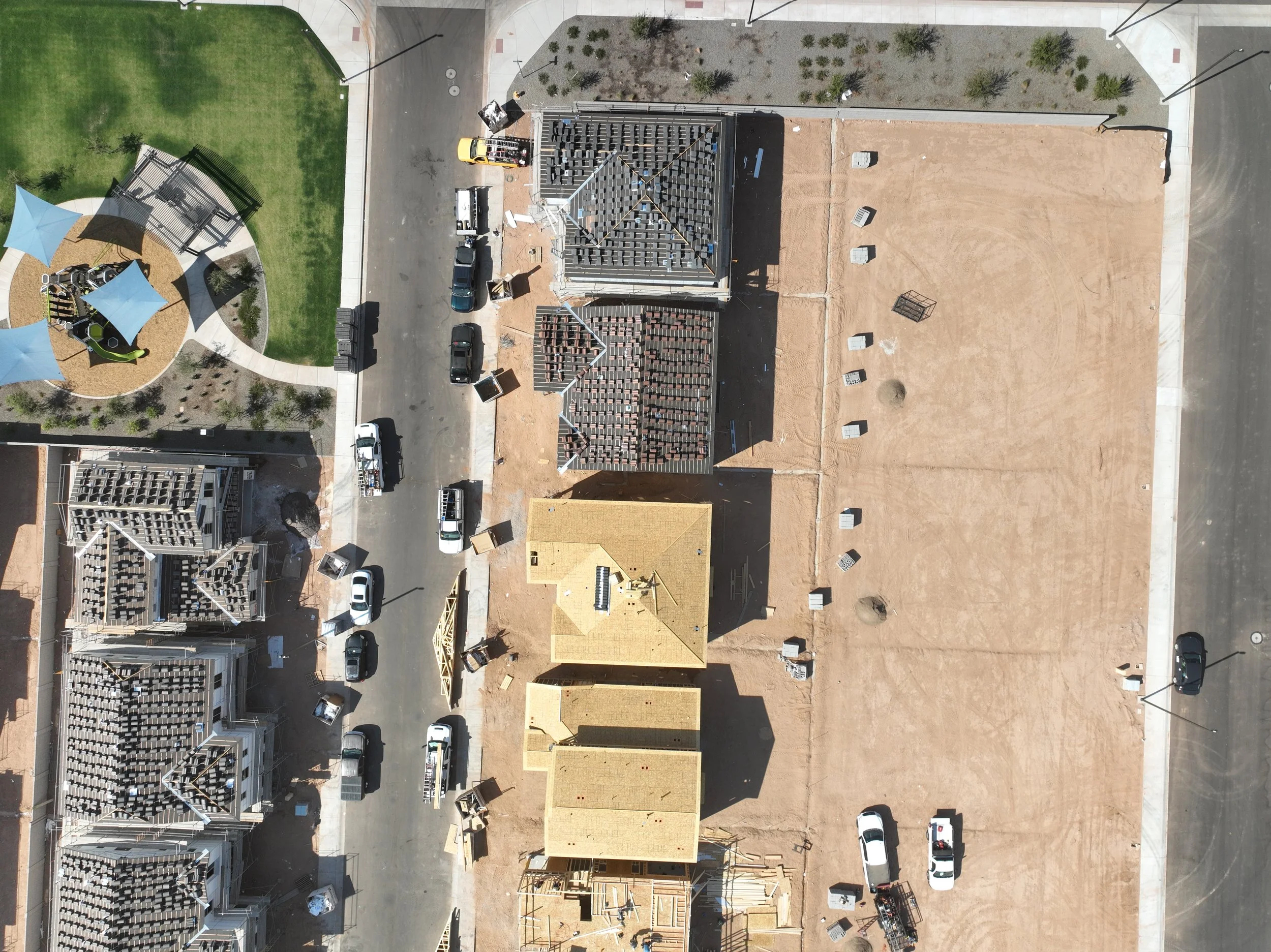
![An aerial view of a construction site with partly built houses, parked cars, and a playground area with shade structures and seating in a residential neighborhood.]()
Photogrammetry
-
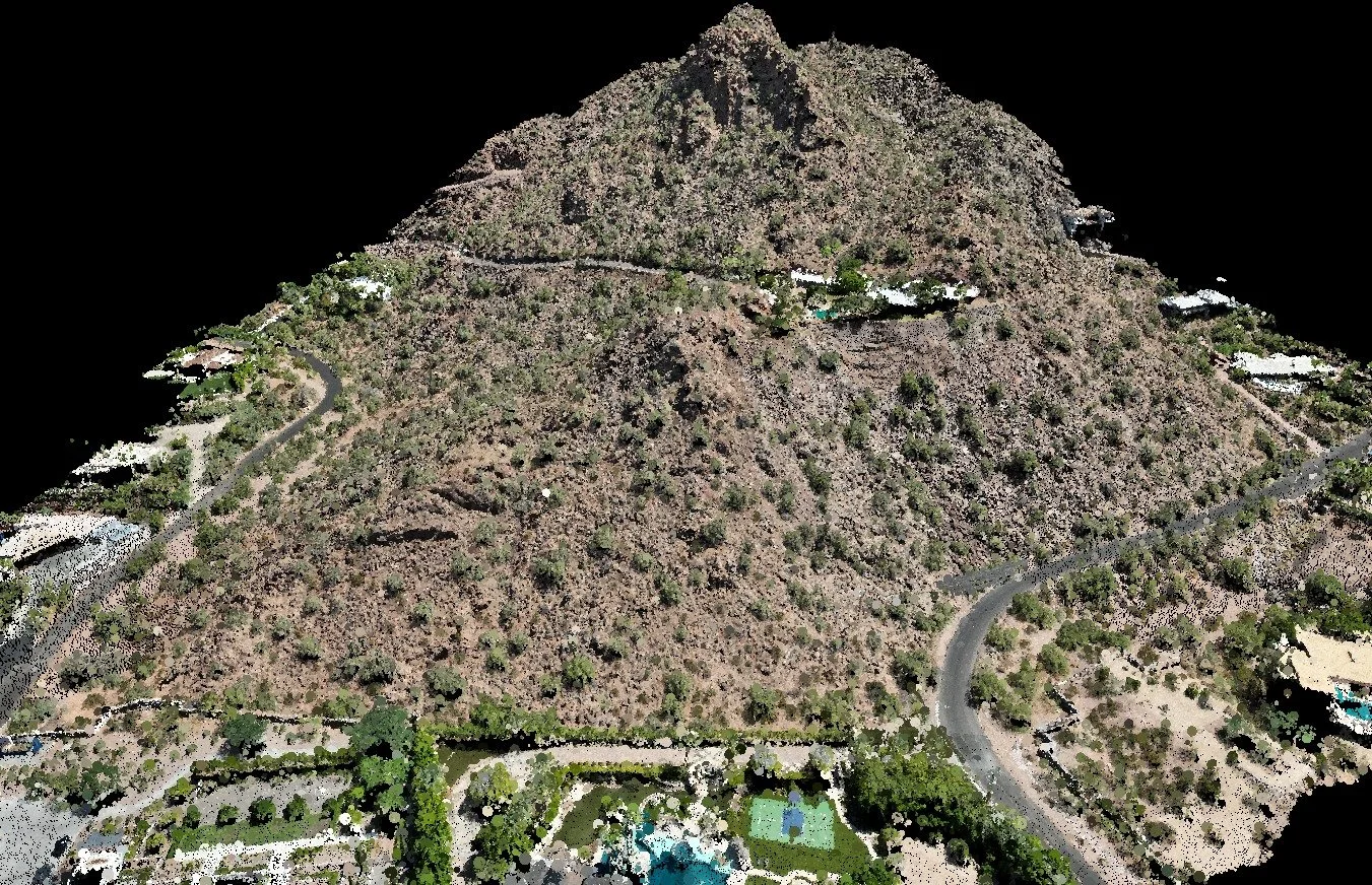
![Aerial view of a mountain with winding roads and scattered houses, with some greenery at the base.]()
Lidar
-
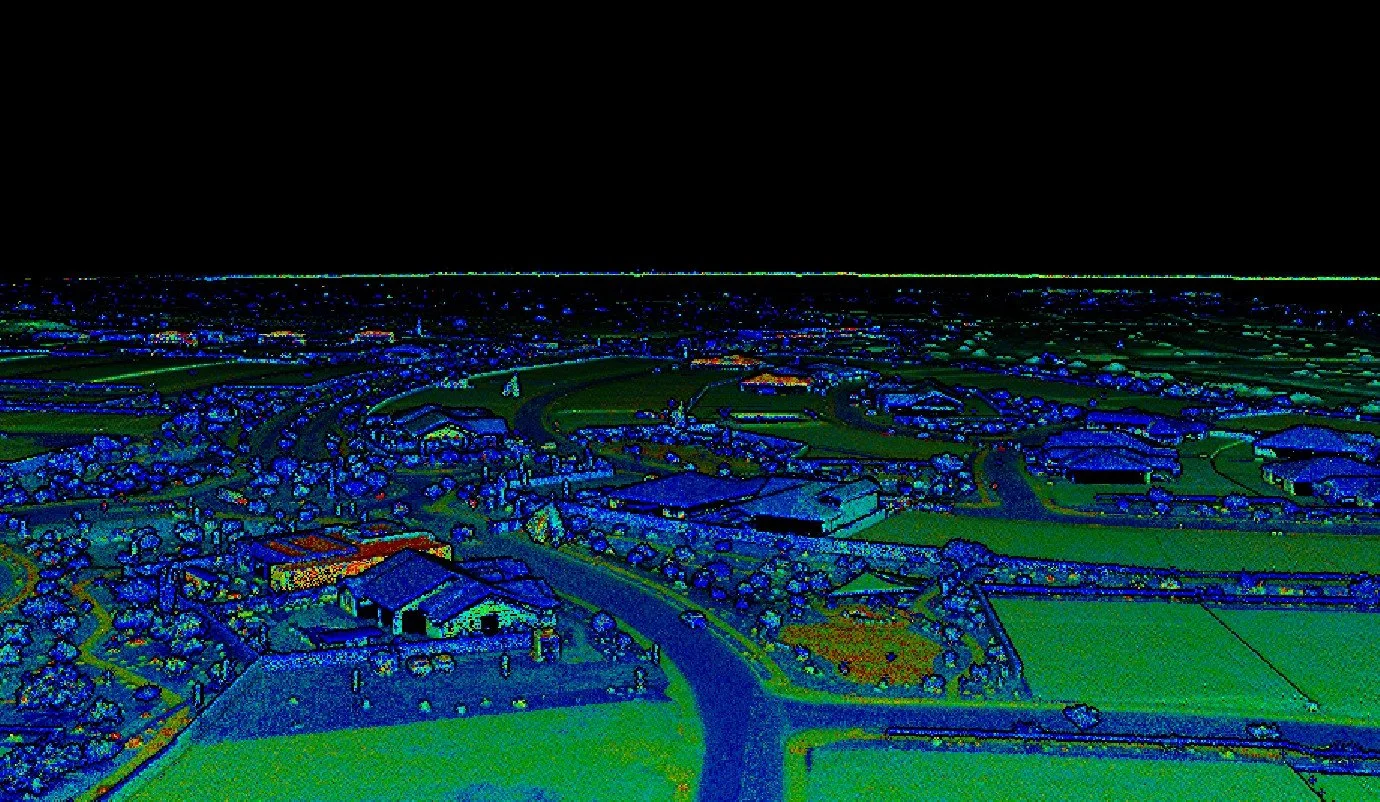
![Aerial view of a small town with houses, roads, and green fields at night, illuminated by a drone or satellite.]()
Data Processing
-
![Surveying tripod set up on a mound of dirt in an outdoor natural setting with trees and blue sky.]()
Surveying